Copyright © 2003, 2007 Chris Torek.
Kodak E100VS film.
Frames 1 and 2 are at the foot of Fox Glacier.
Frames 3 through 24 are on a helicopter flight: we take off from somewhere in the flatlands, fly up to Baumann glacier, land there (frames 13 through 18), then take off again and fly over Fox glacier (frames 19 through 22) and back to the helipad (frames 23 and 24). I believe the one in the yellow jacket in #14 is Donn; I have no idea who anyone else is. The melted parts of the glacier have an amazing blue color, which is actually the ice color below, as I understand it. I think, but am not sure, that the bridge visible across the river at the center of frame 23 is the Fox River bridge from which some of the photos on the previous day were taken.
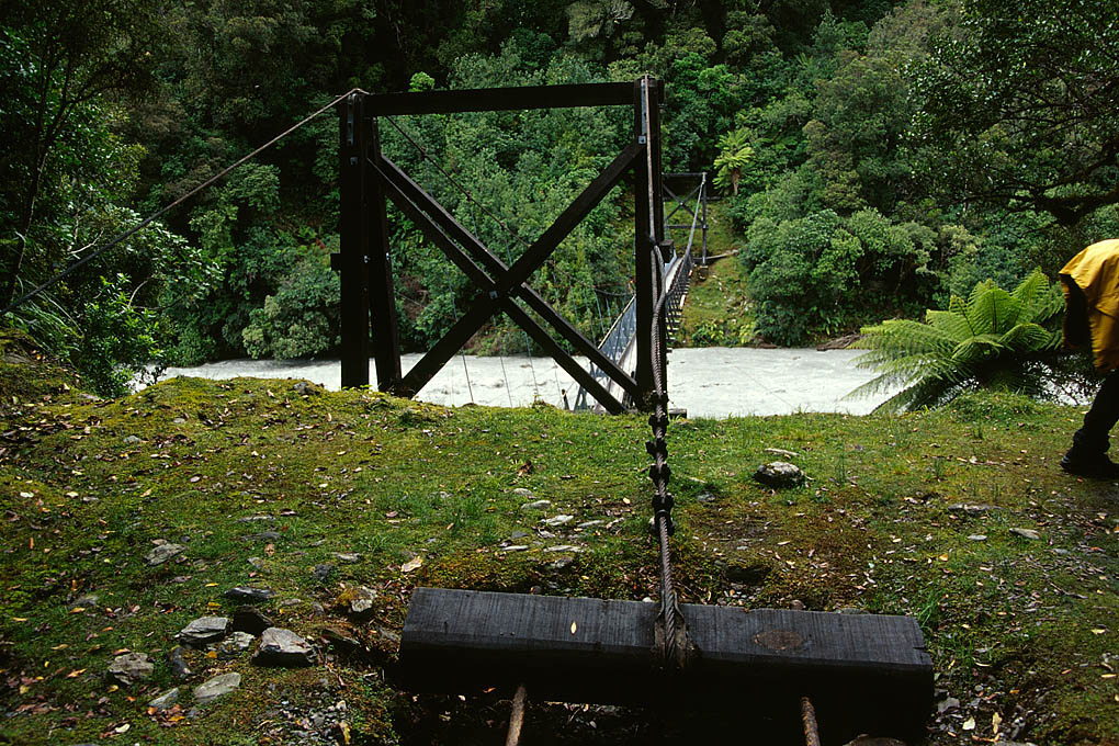
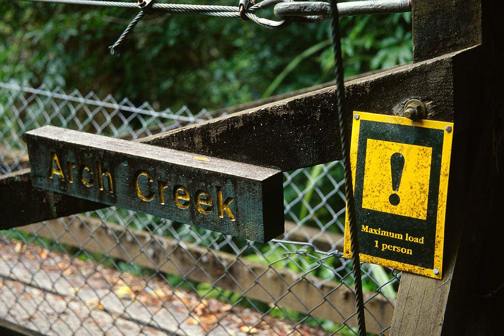
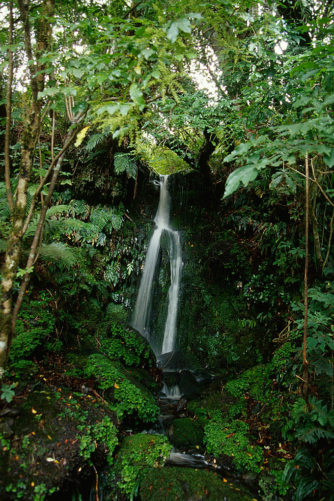
Frames 25 through 34 are from the Roberts Point track, which starts at a parking area at the end of a side road (Cowan Street) back at the tiny town of Franz Josef (somewhere on this map) and takes a bridge across Arch Creek, and eventually reaches a point from which Franz Josef glacier is visible (frames 28 through 33). (I assume we stopped before getting to the end of the track, since the track page above says it is a 9 hour trip!) On the return trip, the sign indicating the the load limit for the bridge over Arch Creek is finally clearly visible....
Frames 35 and 36 (the only two from 19 Feb) are from a bridge on the Haast River. I think it is the one at the center of this map, putting it inside Mt Aspiring National Park, but I will not swear to that. (Update: Donn says no, it was further up the road, near the bottom of that map I guess, and definitely inside the park.) I do have in my notes that this is ‘The Gates of Haast’. I mainly recall an impressive thundering roar of water.
As usual, click on any image for full size version. I recommend 25 especially.