but only one from near where I lived,
so we were all going to meet in
Death Valley National Park.
On April 2, I joined up with Sennard,
and we set out a bit late,
taking the northern route around Lake Tahoe.

Lake Tahoe.
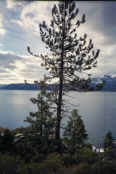
Lake Tahoe.
I made an easter weekend trip to camp in Death Valley. Death Valley is terribly hot and dry -- so, naturally, it snowed.
Click on any thumbnail to see it in full size.
|
There were about eight of us involved in this trip, but only one from near where I lived, so we were all going to meet in Death Valley National Park. On April 2, I joined up with Sennard, and we set out a bit late, taking the northern route around Lake Tahoe. |
|
|
Lake Tahoe. |
Lake Tahoe. |
|
It got dark before we got to the park boundary,
just south of Lone Pine. Driving on narrow twisty park roads in the dark was quite an experience. We eventually found the bulletin board, but there was no note, and we could not find the others in the campground late at night. We left our own note, set up Sennard's tent in Sunset campground, and collapsed. 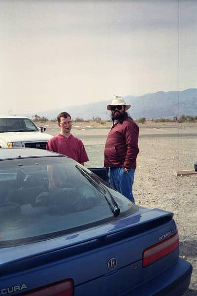 In the morning, they found us, just after we had folded the tent. It seems their note blew right off the board. |
|
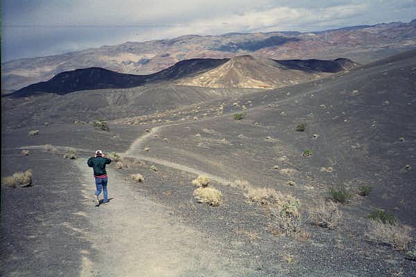
We headed for Ubehebe Crater. The wind was incredibly strong. |
||
On the path in. |
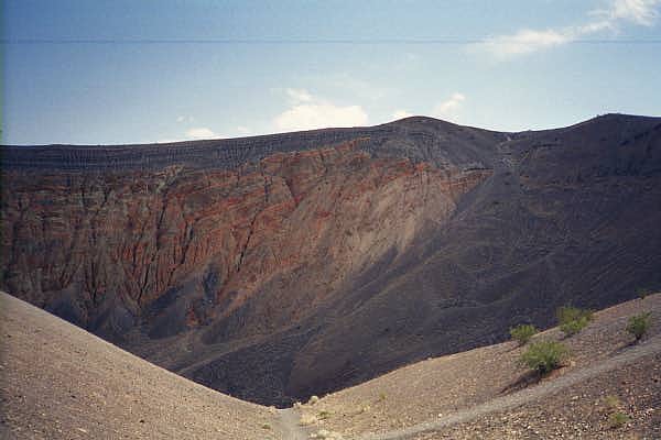
Into the crater. |
Near the bottom. |
Dried mud floor. |
Sennard in a crevice. |

The way out ... very steep! |
|
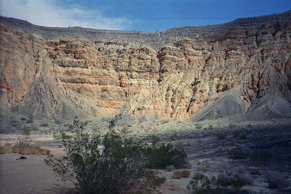
We goofed off at Scotty's Castle for a while,
but I did not take any pictures there. We then decided to do an afternoon hike in Mosaic Canyon. On the drive to the canyon, I thought I saw rain clouds, and I took this picture right out my side window. It came out pretty fuzzy, but you can see that it is raining. 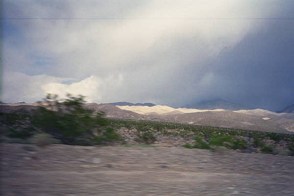
|
|
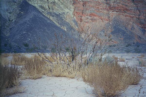
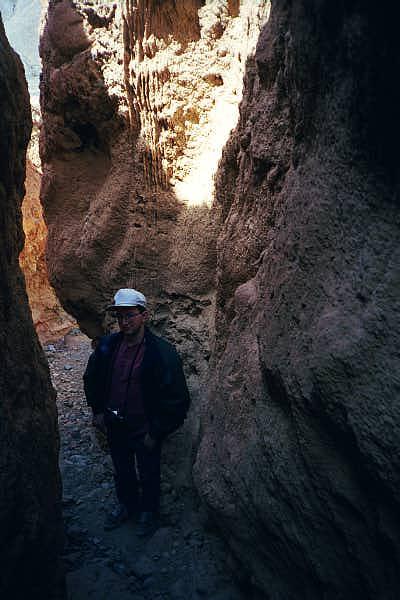
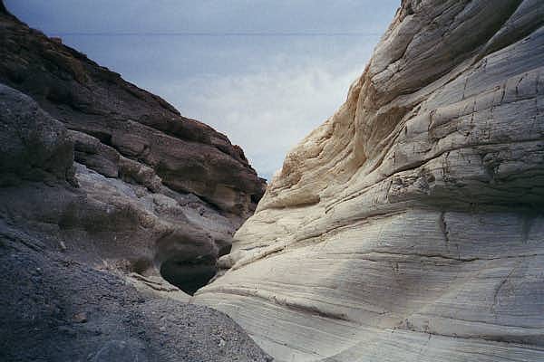
Mosaic Canyon is named for its, well, mosaic geology. Parts of the canyon are a conglomerate -- basically a natural form of concrete. Other parts are solid marble, or loose slate and mixed rock, or even volcanic ash from the Ubehebe Crater eruption. |
||
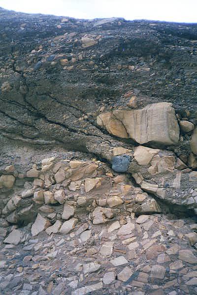
Conglomerate. |

Some other group. |
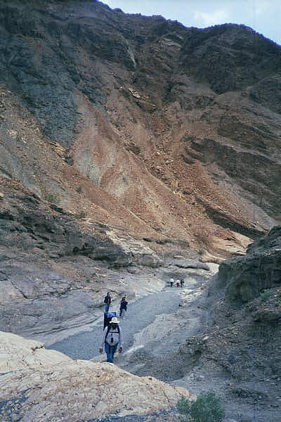
Our group (Adri in white hat). |
Variegated rock. |

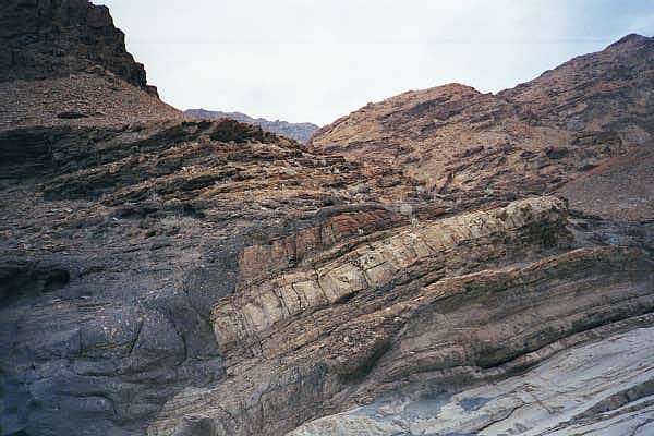
Rock turns plastic under pressure, and bends oddly. |
Wind and water erode the marble. |
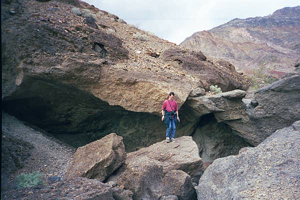
Sennard tries to figure out how to get down from there. |
||
|
Saturday night, we headed back to the campground at Texas Springs. When we got there, we discovered that one of the other two tents had been blown down. The wind was forceful enough to break an aluminum support pole. The other tent was still standing -- it had fiberglass poles wrapped with duct tape -- but it was flattening alarmingly in the wind. Our tent was a huge canvas affair; it seemed unlikely that we would be able to set it up.
We were not sure what we were going to do,
but we definitely had to take down the broken tent.
Fortunately, the same storm that tore up our campsite
had also washed out US 395 near Lone Pine.
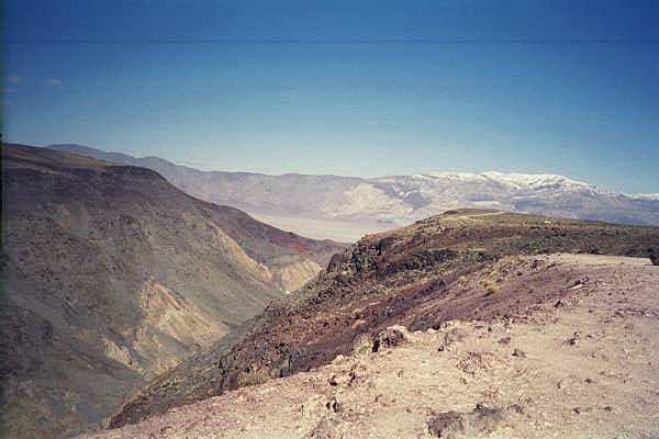
The next day, there was snow on the mountains all around us. |
|
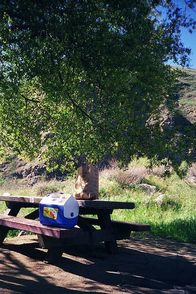
We took a southern route back, driving past Lake Isabella and along the Kern River. We stopped for a late lunch at a picnic area relatively near where CA 178 reaches Bakersfield. |
|
|
|