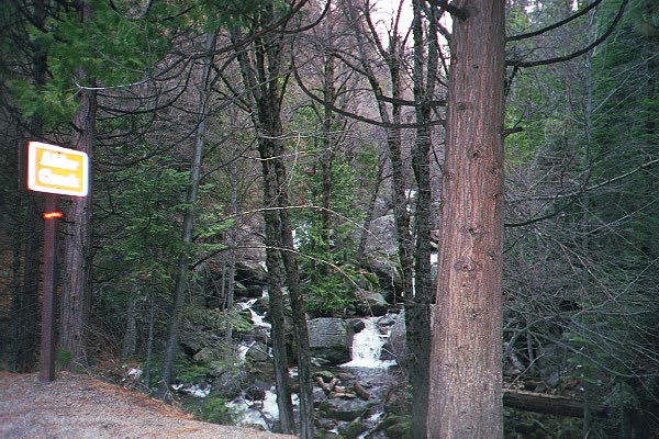
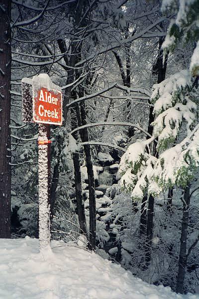
 Alder Creek.
This is just a little creek that forms a cascade by the road that comes in from the south side of Yosemite.

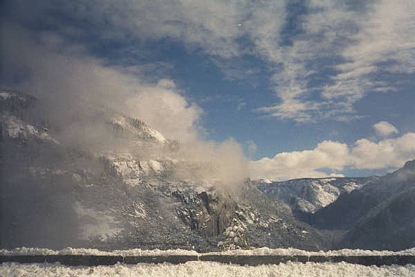
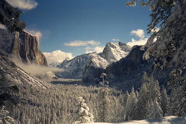 The view into Yosemite Valley.
The first picture is from a trail just above the Wawona Tunnel; the second, taken Sunday, is from the parking lot by the tunnel. The waterfall near the center is Bridalveil Falls. The three similar peaks just above Bridalveil are the Three Brothers. The towering granite block on the left of the valley is El Capitan. Half Dome is about 1/3 of the distance between El Capitan and the middle Brother, and between El Capitan and Half Dome, faded in the distance, is Cloud's Rest.
It was much sunnier the morning after the snow, and if you look closely, you can see why Cloud's Rest is called that.
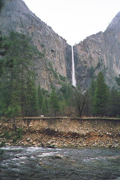
 Bridalveil Falls.
The river in the foreground of the first picture is the Merced. The 1998 flood reached a peak of about 11 feet (3.5 meters) above where the cars are parked. (The second picture was actually taken first, in the morning.)
 Half Dome.
This view is also from the north side of the Merced River, looking out over a meadow.
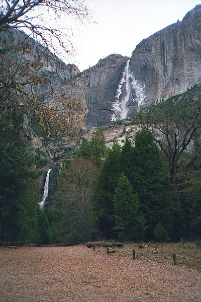

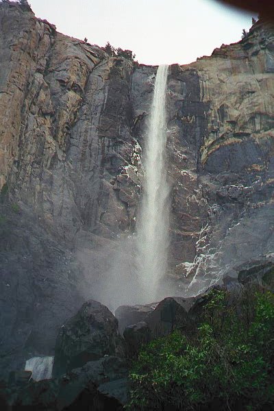
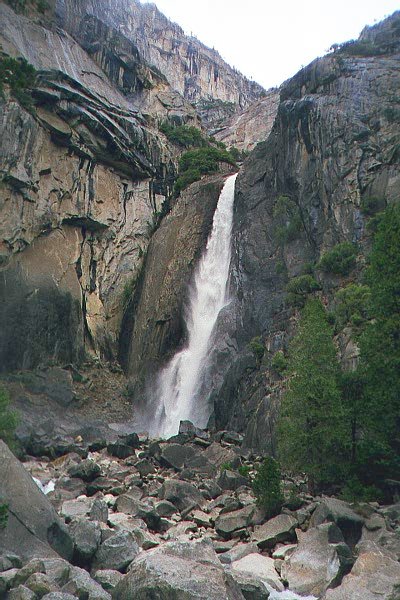 Yosemite Falls.
The first two pictures include both Upper and Lower Yosemite Falls. The first is from a random spot along the road, where I parked to get out and walk; the second is the view from the main path. The third picture is just the lower falls, closer up. (I have no idea who the people in the middle picture are, but at least they give the picture some scale.)
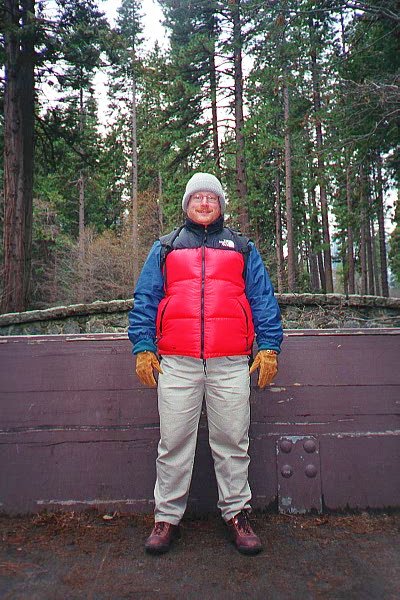 Brr.
Brr.Me, by the road, walking towards Yosemite Falls. For some reason, I was feeling particularly cold. (There was some snow moving in around this time, but it was not that cold yet.) So, I bundled up while I did a picture-taking exchange with some other folks also walking along the path.
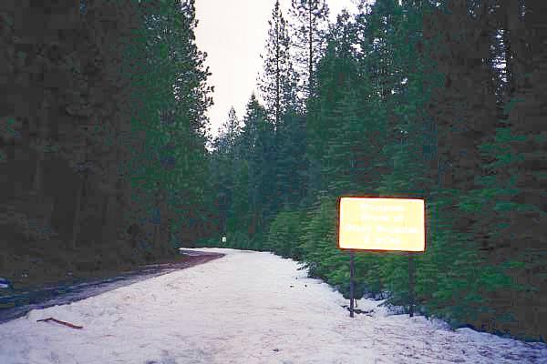 The road to Mariposa Grove.
The road was closed to automobile traffic, but you could walk to the grove. The sign (unreadable here) says it is two miles. It was late in the afternoon, and starting to get dark.
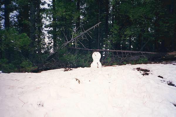 Snowman.
This was still Saturday, before the snow, but there was lots of existing snow on the ground. Naturally, someone built a snowman.
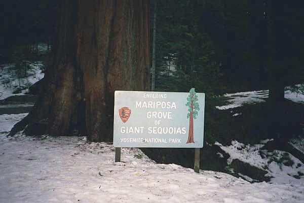
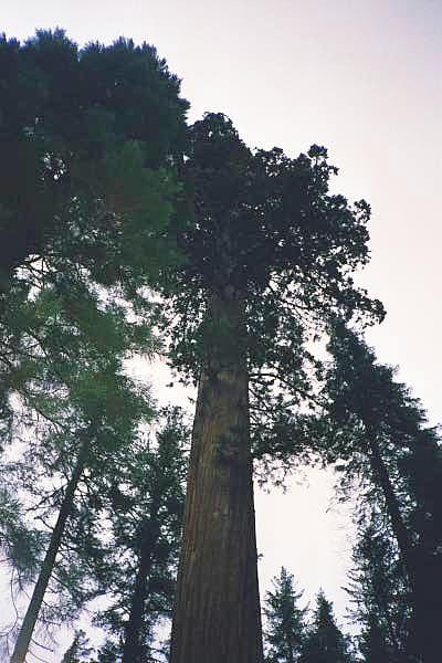 Mariposa Grove.
Made it! Unfortunately, it was dark enough that I had to turn around immediately.
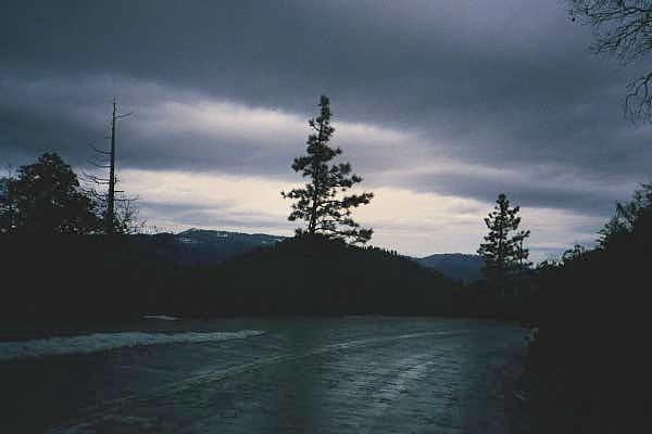 The road back.
Definitely getting dark.
 Sunday morning.
From the motel room, and ...
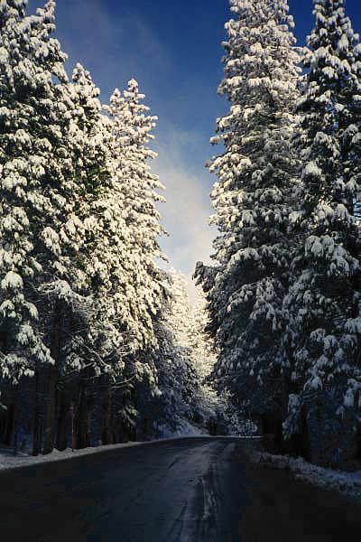 From the road.
What a difference a couple of thousand feet make. (The motel is in Oakhurst, below 3000 ft; this is around 5000.)
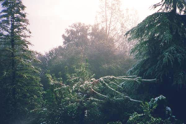
 Cloudy skies on Sunday.
The snow that had fallen overnight was not quite finished yet. This scene is looking out along the Merced River Canyon, from the north.
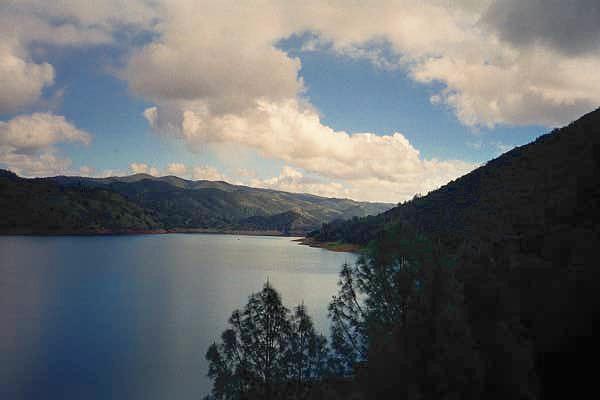 Don Pedro reservoir.
Along SR120, in the Sierra foothills.